
Korea National Park Service

We combined LTE communication quality with 3D geospatial information to build an operating system for safe drone corridors in national parks.

About the customer

Managing the nature of national parks and visitor safety

The Korea National Park Service systematically conserves the natural ecosystems, cultural landscapes and geological resources of national parks and supports their sustainable use. In the field, it uses unmanned vehicles for a range of tasks, including ecosystem management, wildfire prevention and suppression and visitor safety management.

Challenge

Remote automated drone flight required corridors that account for both communication quality and 3D terrain

The national park drone corridor project creates routes on which drones can fly safely, based on the LTE communication environment and reliable 3D geospatial information. The key task was to combine drone and robot control, a control system and digital 3D maps, and to assess LTE/5G communication quality to find flight paths that avoid coverage gaps.

Solution

We enhanced the 3D LTE communication quality map and user interface

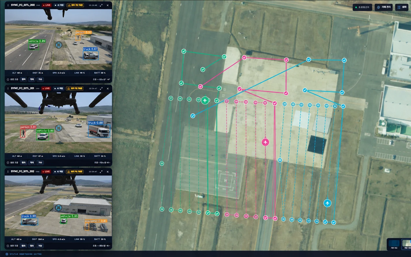
The project was divided into drone equipment for building corridors, a 3D communication quality map and a lightweight digital 3D map. Together with the Korea Electronics Technology Institute, SyncTechno enhanced the 3D LTE communication quality map for national parks and its user interface.

  1. 01Visualization of measured LTE data

    Collected LTE quality and signal strength are displayed on a 3D map so that the communication status along flight paths can be checked.

  2. 02Quality comparison by carrier and altitude

    Collected data is visualized by carrier and altitude and linked with base station information to support route decisions.

  3. 033D terrain integration

    Communication quality information previously limited to 2D maps was combined with 3D terrain, and the user interface was improved to reflect the actual flight environment.

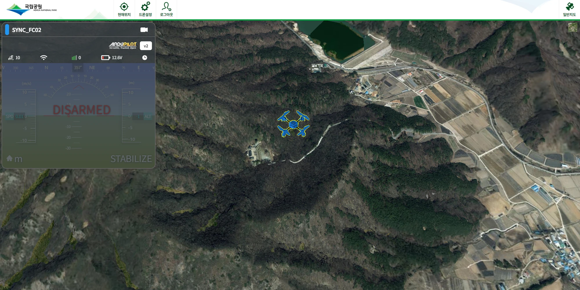
Screen showing measured LTE quality and drone positions on 3D terrain
Outcome

We established a foundation for drone operations that reduce communication coverage gaps

By combining an automated drone operation robot system, control of heterogeneous UAVs and a 3D mobile communication quality map including latitude, longitude and altitude, we established a foundation for building optimal drone corridors in national parks. It can be extended to a range of field tasks, including wildfire prevention and disaster response, delivery of relief supplies such as defibrillators and medicines, monitoring of illegal activity and visitor safety management.